We all learned in school that there are 7 continents (North America, South America, Europe, Asia, Antarctica, Africa, and Australia), but did you know that there are 5 official oceans now, not the 4 we learned about in school? In 2000, the International Hydrographic Organization named the Southern Ocean as the newest ocean.
We will also be studying different types of maps to see what new information we can learn from them. Some of the maps we will use this week are listed below:
1. Physical Map: A landform map that shows the physical features of a place.
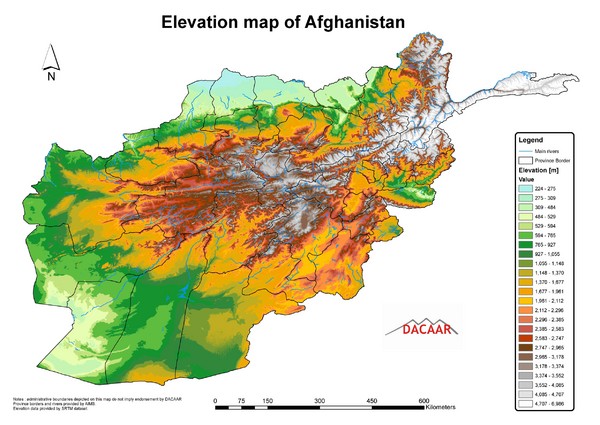
2. Elevation Map: A landform map that shows the height of the land's surface.
3. Population Map: A map that shows how many people live in a certain area.
We will be reviewing cardinal and intermediate directions throughout the week as well. Check out any of the resources below:
Just for Fun: